Formações SIG Open Source / QGIS
Desde a sua constituição em 2009, a NaturalGIS tem apostado na formação sobre SIG Livres, tendo-se especializado em
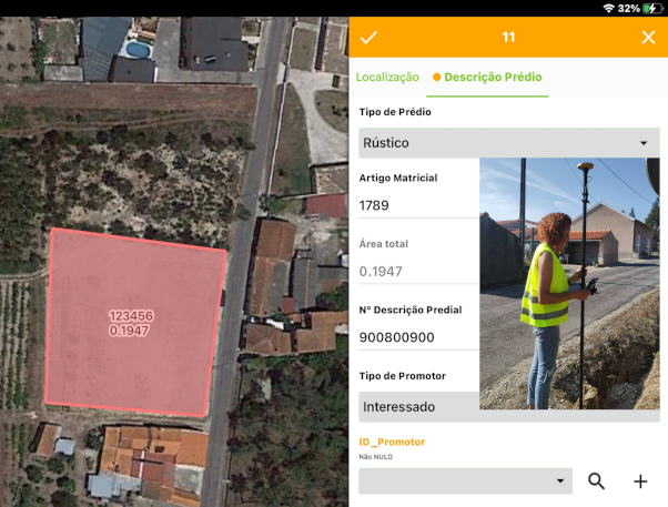
QGIS (Desktop, Server e Web),
PostgreSQL/PostGIS e
Python para QGIS.
Damos formação SIG de elevada qualidade didáctica, utilizando sempre as últimas versões dos software disponíveis. Realizamos formações com conteudos padrão ou personalizados, abertas ao publico, nas instalações do cliente ou em contexto de trabalho.
Use o formulário para a sua pré-inscrição nas formações agendadas, ou para manifestar o seu interesse nas formações
ainda sem data definida. Consulte o regulamento e condições para descontos.
Porquê escolher as formações SIG da NaturalGIS?
- Elevada qualidade didáctica: são regularmente avaliadas com índices de popularidade muito elevados (entre 82% e 93%, com base em formulários anónimos)
- Interactiva: formações teorico-práticas, com muita intervenção e ajuda do formador
- Contribuição directa ao software usado: Giovanni Manghi é o tester principal de QGIS e parte dos nosso lucros são investidos para o desenvolvimento do mesmo QGIS
- Preço competitivo: preço inferior a equivalentes baseadas em software
fechado
- Multilingue: Podemos dar formação em Português, Inglês ou Italiano
- Descontos: para estudantes, desempregados e anteriores formandos/clientes
Assistência pós-formação:
Todas as nossas formações incluem assistência telefónica e por e-mail aos formandos, nos 30 dias seguintes ao final da formação.
Gravações das sessões das formações remotas:
Com as gravações poderá rever as aulas sempre que tenha necessidade. Consulte as condições de cedencias das gravações
no
regulamento.
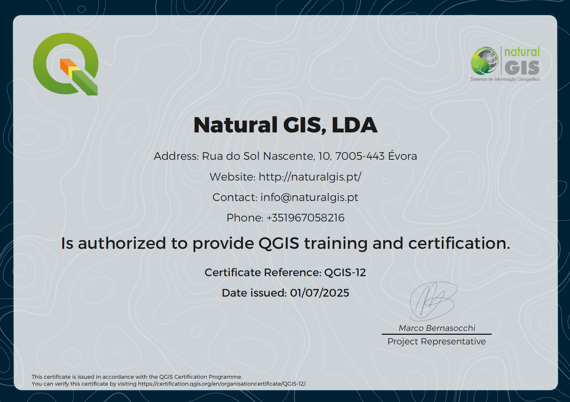
Formação certificada QGIS:

A NaturalGIS é uma das poucas entidades no mundo (
e única em Portugal) a dar
formação certificada pelo Projecto QGIS:
Este reconhecimento dá o direito e a oportunidade de emissão de um certificado de frequência oficial do projecto QGIS.
A emissão do certificado tem um custo extra de 20€ + IVA, valor que
reverte por inteiro a favor do projecto QGIS
contribuindo assim para a sustentabilidade do mesmo.
Promoção para o ano 2025:
Nas formações em calendário em 2025, os primeiros 3 inscritos de cada formação (com inscrição ou pré-inscrição paga no momento) irão receber gratuitamente o certificado de formação oficial QGIS,
certificado que tem um valor de 20 euros + IVA que reverte 100% para o projeto QGIS contribuindo desta forma na sua sustentabilidade.
Descontos: